Which Estates of Marco lot will actually fit your boat, your floor plan, and your favorite sunset? When you are looking at waterfront parcels in 34145, the details behind the view matter: orientation, elevation, seawall health, channel depth, and layered permits can all change what you can build and how you live day to day. This guide gives you a clear, step‑by‑step way to compare lots so you can buy with confidence and plan your dream home without surprises. Let’s dive in.
What makes Estates lots special
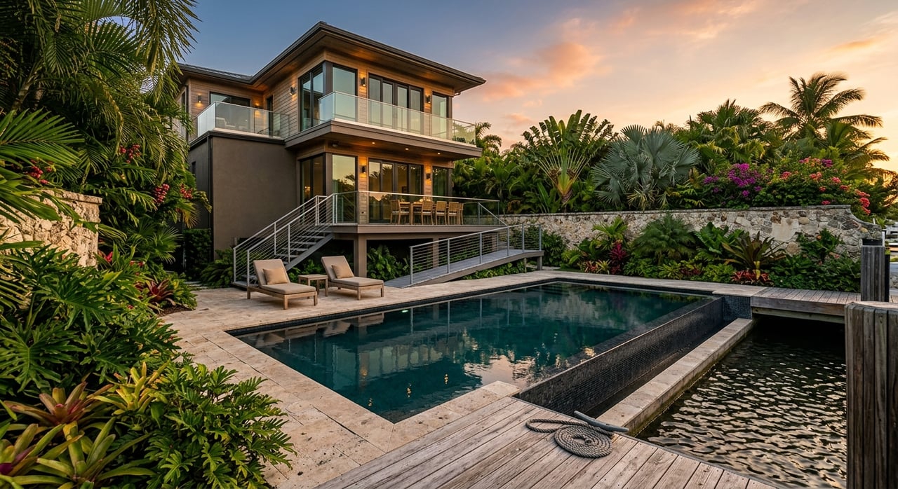
The Estates area on Marco Island is known for larger waterfront parcels, wide views, and quick routes to the Gulf and Ten Thousand Islands. Many lots market “water‑direct” access and long stretches of seawall that make room for generous outdoor living and docking. That combination is rare, which is why buyers focus here when boating and privacy are top priorities.
You will see a mix of wide‑water bay views, corner parcels, and canal lots. Frontages commonly stretch well over 100 feet, and lot sizes often exceed a quarter acre. Those dimensions give you flexibility for a pool, spa, outdoor kitchen, and a dock suited to your vessel, but only if the site orientation, depth, and permitting align with your plans.
Sun and orientation basics
West‑facing sunset tradeoffs
A west‑facing lot delivers golden‑hour views and dramatic sunsets. The tradeoff is heat. Afternoon sun can push temperatures on your lanai and pool deck, especially in summer. Plan for deeper roof overhangs, well‑placed trees, or vertical shading to keep seating areas comfortable during peak hours. These are standard passive‑solar strategies that work well in Southwest Florida’s climate.
East‑facing and shaded living
If you prefer cooler afternoons, an east‑facing lot gives you morning light on the water and shade later in the day. Many owners choose this orientation to enjoy the lanai without intense late‑day sun. Align covered outdoor rooms and glazing so you capture light when you want it and reduce unwanted heat gain during the hottest months.
Catching coastal breezes
Summer sea breezes often arrive from the south and southeast. Place openings and outdoor seating to capture cross‑ventilation through your lanai and main living areas. With thoughtful window placement and screened spaces, you can improve comfort and reduce how often you rely on mechanical cooling.
Elevation and flood zones
Why BFE drives design
Marco Island’s current FEMA Flood Insurance Rate Maps took effect on February 8, 2024. Your parcel’s flood zone and Base Flood Elevation will drive your foundation type, how high your living level must sit, and your insurance options. Before you make an offer, review the City’s floodplain resources and obtain any existing Elevation Certificate. You can also look up map panels using the FEMA Flood Map Service Center.
- Review the City’s floodplain guidance and current maps on the City of Marco Island site: floodplain management resources.
- Search official FEMA maps by address: FEMA Flood Map Service Center.
Foundation and mechanicals
Coastal building guidance calls for open foundations that allow water to pass beneath the structure in high‑hazard areas. Plan to elevate mechanical systems such as HVAC, electrical panels, and water heaters above the design flood elevation for safety and code compliance. These choices influence stair counts, garage design, and the feel of your front entry. A clear elevation strategy early on prevents costly redesigns later.
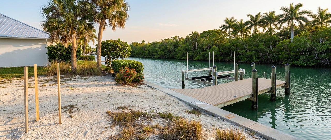
Seawalls and shoreline condition
What to inspect
Walk the seawall line and look closely at alignment, cracks, cap condition, and any settlement. Check the top‑of‑wall height relative to your lot and look for signs of scour at the toe. Ask for permit history, repair records, and as‑built drawings. The City of Marco Island requires permits for seawall work, and a clean record reduces risk when you plan replacements or upgrades. For permitting steps and records access, start with the City’s permitting information.
Living shoreline considerations
If your shoreline includes mangroves or sensitive areas, understand that trimming and removal are regulated under the Mangrove Trimming and Preservation Act. Do not assume you can clear vegetation to open a view. Larger alterations often require approvals and a Professional Mangrove Trimmer. Review state guidance on mangrove protections and permitting before you commit to a plan.
Docks, depth, and permits
Confirm your route and bridges
“Water‑direct” routes can vary lot by lot. Trace the path from the property to the marked channels and out to the Gulf, and confirm whether your typical route includes no‑wake zones, narrow canals, or fixed bridges. The City publishes bridge clearance information to help you plan for hardtop height, radar arches, or sailboat masts. Review local rules and clearances via the City’s safe boating and bridge clearance page.
Depth, tides, and lift sizing
Depth at your seawall matters as much as the route. Order a bathymetric survey that shows mean low water depths and note your tidal range. NOAA’s Caxambas Pass station provides local tidal datums to help you size lifts and confirm draft for your planned vessel. Reference local tidal information at NOAA’s Caxambas Pass benchmark page.
Seagrass and design limits
If seagrass or other protected habitat lies between your seawall and the channel, expect design rules that reduce shading and impacts, such as grated decking, elevated platforms, and limits on terminal platform area. These conditions are common in coastal permit reviews and can change both the look and cost of your dock. Learn more about typical design mitigation in coastal reviews from this overview of seagrass‑related decking practices.
Slip counts and authorizations
Docks, lifts, dredging, and any work waterward of mean high water often need both state and federal approvals. The Florida Department of Environmental Protection reviews many dock and seawall projects under Environmental Resource Permitting, while the U.S. Army Corps of Engineers may authorize eligible single‑family docks under regional general permits. Common regional conditions cap single‑family docks to a limited number of motorized slips, with larger or more complex facilities requiring more extensive review. For state and federal context, see FDEP’s ERP overview and the USACE Jacksonville District’s regional permit guidance.
State and local coastal rules to know
- Coastal Construction Control Line. Many projects seaward of the CCCL require a state permit and stricter review, including pools, additions, and armoring. Use an up‑to‑date survey to locate the line for your parcel and consult FDEP’s CCCL program.
- City building and marine permits. The City of Marco Island issues building, dock, and seawall permits. Ask for copies of existing permits, as‑builts, and inspection records before you write an offer. Start with the City’s permitting information for process and contacts.
Your due diligence plan
Paperwork to request
- Recorded deed and plat, plus any covenants or HOA rules that affect docks and architectural review.
- Full permit history for any existing home, seawall, dock, lift, or dredging, including state and federal permit numbers and as‑built drawings.
- Elevation Certificate and any prior surveys.
Surveys and studies to order
- Bathymetric survey showing depths at mean low water and notes on tidal datum used. Cross‑check with NOAA’s local tidal datums.
- Geotechnical investigation to inform foundation type and expected pile depths.
- Benthic and seagrass assessment if you plan dock work or if sensitive resources are visible near the seawall.
Insurance and timelines
- Ask your insurance advisor for preliminary flood and wind quotes based on a proposed finished floor elevation.
- Build a realistic schedule. Layered reviews by the City, FDEP, and USACE can add months, especially for docks, dredging, or shoreline work. Reviewing the City’s permitting information early helps you anticipate steps and sequence.
Match the lot to your lifestyle
Boater priorities to weigh
- Vessel draft and height. Confirm depth at mean low water and any fixed bridge clearances on your preferred route using the City’s safe boating and bridge reference.
- Daily use. Factor in no‑wake zones and canal traffic. Shorter idle‑speed segments mean more time on plane in open water.
- Dock design. Plan for walkways, lifts, and power with code‑compliant electrical permits. Some lots can host side‑tie options; others are best with a centered lift.
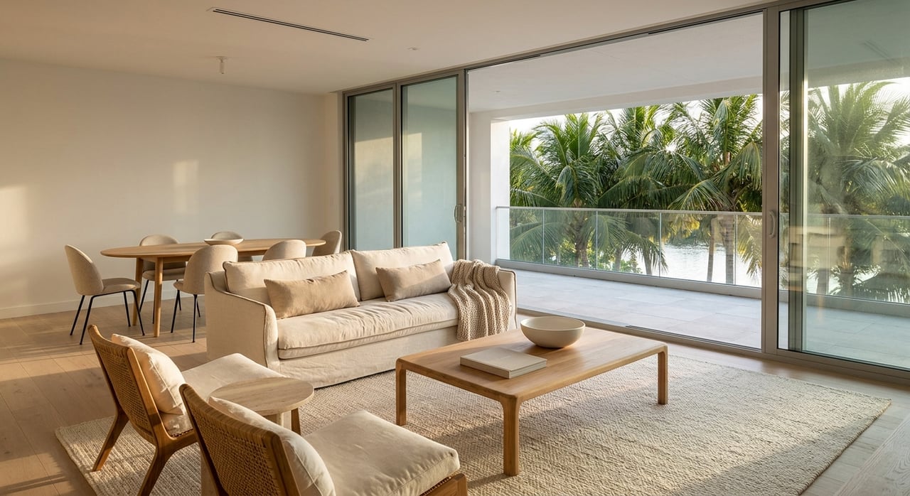
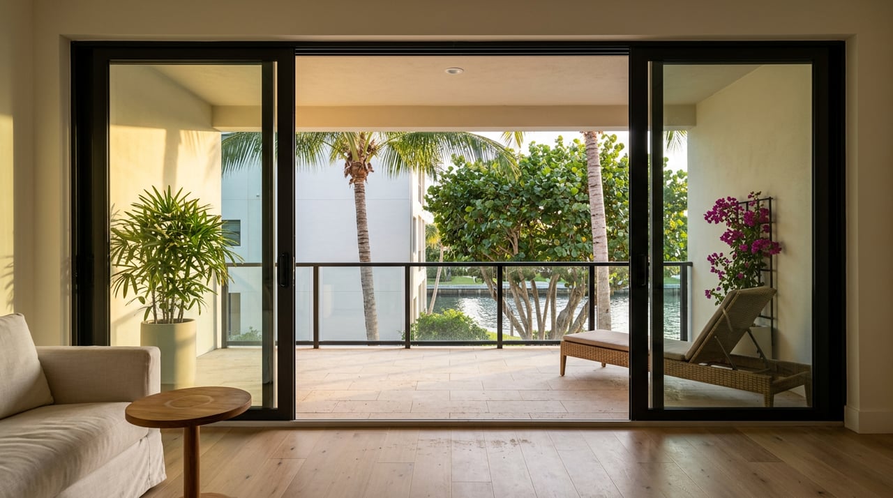
Outdoor living choices
- Sun and shade. If you crave sunsets, budget for shading and glazing strategies. If you favor cooler afternoons, an east‑facing water view can be a smart pick.
- Wind and materials. Choose corrosion‑resistant finishes and plan equipment locations with wind and salt exposure in mind.
- Privacy and noise. Canal orientation, channel width, and proximity to turns affect both activity levels and wake. Walk the site at different times of day to get a feel for daily rhythm.
A smarter path to the right lot
The right Estates parcel should check four boxes: the boating works for your vessel, the elevation supports the home you want, the shoreline is sound or repairable on a clear path, and the permitting picture is realistic for your timeline. Bring a builder and marine contractor to your site visits, and ask for permits and as‑builts up front. When you have clear data, you can weigh a stunning view against practical needs like shade, ventilation, and insurance.
If you would like a guided comparison of available Estates lots tailored to your boat, design goals, and timeline, reach out to Debbie Bur. You will get concierge coordination with surveyors and marine pros, smart questions to ask on showings, and a calm, design‑aware partner from offer through close.
FAQs
What should I check first on an Estates waterfront lot?
- Start with permit history, elevation data, and a quick route check for bridges and no‑wake zones using the City’s safe boating resources.
How do flood maps affect my future home design?
- Your flood zone and Base Flood Elevation set minimum heights for foundations and living floors and influence insurance; confirm details via the City’s floodplain management page and the FEMA Map Service Center.
Can I remove mangroves to improve my view?
- No, not without approvals; mangrove trimming and removal are regulated and often require permits or a Professional Mangrove Trimmer per FDEP’s mangrove guidance.
How many slips can a private dock have on Marco Island?
- Many single‑family docks fall under USACE regional permits that set slip limits and conditions; check the USACE Jacksonville District’s regional permit details and verify the exact authorization on the lot.
How do I know if my boat will fit at low tide?
- Order a bathymetric survey showing depths at mean low water and cross‑reference local tidal datums from NOAA’s Caxambas Pass station to size lifts and confirm draft.